Ambling around the Farm
Easy Strolls in Madison County, Syria VA
Right Next to Shenadoah National Park
Amble 1 - Poplar Lodge Out to Western Edge of Farm
Amble 2 - Orchards and Robinson River then Woods
Amble 3 - Cattle Stroll with Fine Views of Blue Ridge
Amble 4 - Home Orchard Circuit - out from Farmyard
Poplar Lodge Out to Western Edge of the Farm
Then down to Rose River and the Hidden Meadow Loop
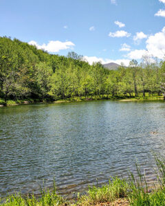
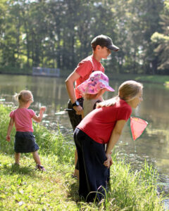
Add in an amble around Meadows Pond (catch and release fishing - bass, catfish, trout).
Marking: Gold & Some Red
Rating – easy stroll into woods and back along Rose River and Meadows Pond
Length– 3/4 mi
Vertical Gain – from Poplar Lodge (-30 ft)
Beware – bear aware in woods – not frequent these days as they are sadly subject to mange
Equipment – none needed
Dogs - Dog Friendly, as are all our trails.`
:: Shenandoah Hiking Map - use back, 2nd page blow-up for easy ambles near Graves Mountain Farm & Lodges
Way finding:
- Starting points
- From Mountainside Lodge or Main Lodge
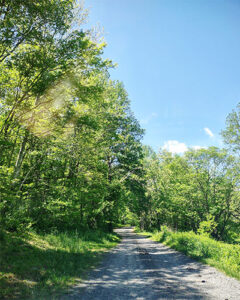
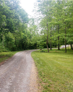
Follow gravel track out west past pool and Meadows Pond to Poplar Lodge - Or take upper green trail from west of Ridgecrest down to the gravel lane to Poplar – going down is easy for young ones and olders.
- From Mountainside Lodge or Main Lodge
- At front of Poplar Lodge, strike out west toward woods, bearing right 15 degrees
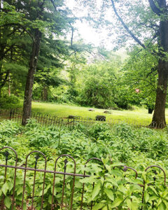
- Note – the Kite family burial area, near to Poplar Lodge
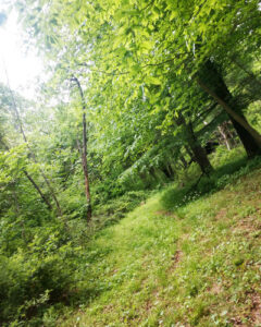
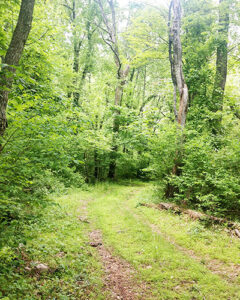
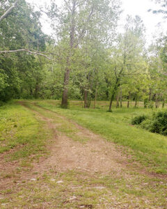
- See double track running west through the woods,
- Note - a big tree house structure on the right. A Buddhist group built this for meditation.
Do not enter. Not safe. - Continue along double track to dead end – the west of edge of the Farm - and turn right, downhill.
- You will pass the Poplar well house
- Continue down to before river and turn right onto track heading east.
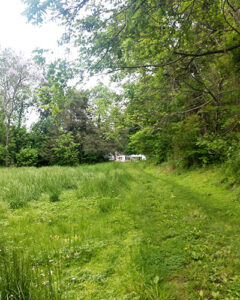
- Pass through small meadow – the river is just at the left edge.
- Coming into Poplar and Kite lower meadow, keep left.
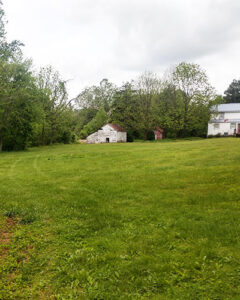
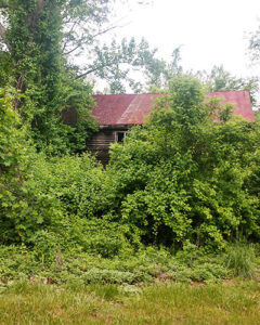
- On left discover the Old Mill, used up through the 1960s to saw our wood.
- Continue by the Kite Farmhouse, amble out the gravel double-track drive that goes into Kite House, continue east 100 yards to first left (by Redwood house).
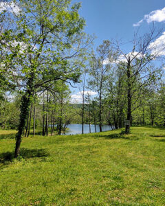
- Take left double-track to Meadows Pond - in front of you - and circle around – with Rose River on the left.
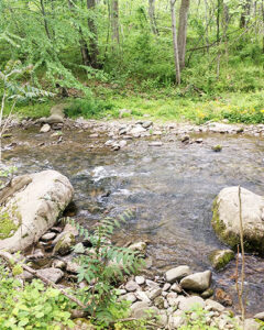
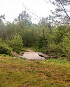
- You will pass a break in trees on the left - going down to stream – a ford crossing for the horse rides.
- At the east end of pond, head straight across fields to the rolling chicken coop and then the duck pond.
- Or keep to right and head up gravel track to the Poplar Lodge drive and left to lodges or right back to Poplar, Redwood and Kite houses.
- Or carry on across gravel drive and follow Green Trail markers up the mountain slope Ridgecrest and Hilltop Lodges – vertical gain here is 150 ft.
Orchards and Robinson River (stream really)
Blue Trail Farm Side – easy stroll to river and into forest
To Farmyard, orchard, Robinson River, Up Graves Mountain shoulder and back through orchard
Rating – easy, one short 100 ft push up a grade. Consider for family down to 5 year olds
Length –2 ½ mi
Vertical Gain – 100 ft
Beware – bear aware in woods
Equipment – none needed
Dogs - Dog friendly, as are all our trails.
:: Shenandoah Hiking Map - use back, 2nd page blow-up for easy ambles near Graves Mountain Farm & Lodges
Way finding:
- From farmyard, go straight by Farmhouse heading North – on the dirt road and horse trail and orchard on your left.
- Follow Blue trail markers.
- Continue along up and down hills, passing orchard on left.
- Yes, you can detour up into orchard. There is a double track that encircles it – one end ending up back at the Farmyard Farmhouse.
- At first track coming from left (that will take you on circle around orchard) – continue straight.
- At “Y” branch keep left.
- Continue to small campfire set-up and the Robinson River (coming down from Weakley Hollow next to Old Rag Mountain).
- When ready continue straight ahead with small creek crossing, you will come to a “double-back” point, curving to left.
- Continue on trail for 400 yards.
- Look for trail on left leading up an incline.
- Go left on this trail.
- At top, bear left and follow markers through the woods.
- Come down incline into the front edge of the orchard.
- Go right or left on Orchard doubletrack, returning either way to the Home Farm and Farm-yard.
Cattle Stroll with Fine Views of Blue Ridge – see our longhorn cows
Starts at Farmyard
Rating – easy stroll
Length – 3/4 mi
Vertical Gain – 0 ft
Beware – bear aware in woods
Equipment – none needed
Dogs - Dog friendly, as are all our trails.
:: Shenandoah Hiking Map - use back, 2nd page blow-up for easy ambles near Graves Mountain Farm & Lodges
Way finding:
- Start In Farmyard – see resort master map
- See Goat and Sheep enclosures on right, Hogs on left - go straight down double track heading west out of the farmyard
- Continue along double track around fields with young black cattle
- As the track turns to right, you will see 20th century farm equipment on the right verge .
- Continue along track to end of field and keep left around the field on your left, turning left again to return to Farmyard.
Home Orchard Circuit
Starts at Farmyard
Rating – easy stroll
Length – 3/4 mi
Vertical Gain – 70 ft
Beware – bear aware in woods
Equipment – none needed
Dogs - Dog friendly, as are all our trails.
:: Shenandoah Hiking Map - use back, 2nd page blow-up for easy ambles near Graves Mountain Farm & Lodges
Way finding:
- Start at the Home Farm, Apple tree Lane – see resort master map.
- Keeping the Home Farmhouse on your left, continue ahead, north. Past goats, pigs, guinea hens on your left, Farmhouse on left, to first lane on left. Take the left lane.
- Continue up rutted double track around orchard. Cut across or through as you please.
- Up the mountain’s shoulder (Graves Mountain) to your left, west, there are old cabins from the 1930s tucked into folds.
- Further up Graves Mtn is Devil’s Backbone a rocky ridge to scramble up. (See Hell’s Trail – Devil’s backbone).
- At top of orchard, you have a view back down over the valley and on opposite side “Doubletop” mountain – 200 feet higher than Old Rag (hidden behind you).
- Continue around orchard, curving to your right.
- At double track intersection (Appletree Lane), 3 OPTIONS
- Back to Home Place ½ Mile
- Turn right back to the Home Place and Farmyard – just follow the double track – ½ mile. - Turn Left and keep straight
On Blue Trail - out to Robinson River and back through Graves Mountain shoulder’s forest back to top of orchard – 2.5 added miles. Or just make it an out and back. - Turn left and branch right – going back to the extended campground area.
- Back to Home Place ½ Mile
- As the track turns to right, you will see 19th century farm equipment on the right verge
- Continue along track to end of field and keep left around the field on your left, turning left again to return to Farmyard.
